


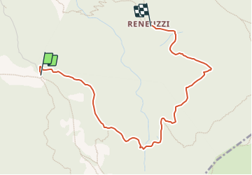

7,4 km | 14,4 km-effort


Tous les sentiers balisés d’Europe GUIDE+


Application GPS de randonnée GRATUITE
 SityTrail
IGN / Instituts géographiques
SityTrail World
Le monde est à vous
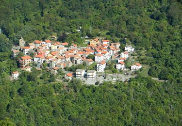
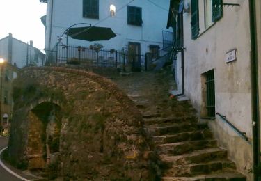
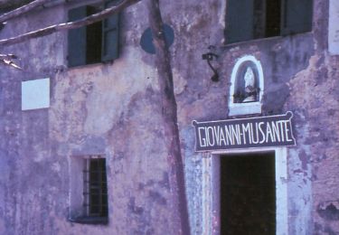
Randonnée A pied de 3,9 km à découvrir à Piémont, Alexandrie, Carrega Ligure. Cette randonnée est proposée par SityTrail - itinéraires balisés pédestres.
Randonnée créée par Club Alpino Italiano - sezione Novi Ligure.
Symbole: 243 on white ref flag
A pied
A pied
A pied

A pied

A pied
A pied
A pied
A pied

A pied